Every day, thousands of people search for ways to track military flights. Some are enthusiasts eager to identify a passing fighter jet. Others are nervous flyers who spotted an unusual aircraft on a live map and need reassurance.
Since around 2015–2016, public access to ADS-B signals has made it easy to watch transports, tankers, and trainers worldwide. The sky may look chaotic on a map, but it’s intensely organized. Military traffic is coordinated with civil air traffic control, especially over busy regions like Europe and North America.
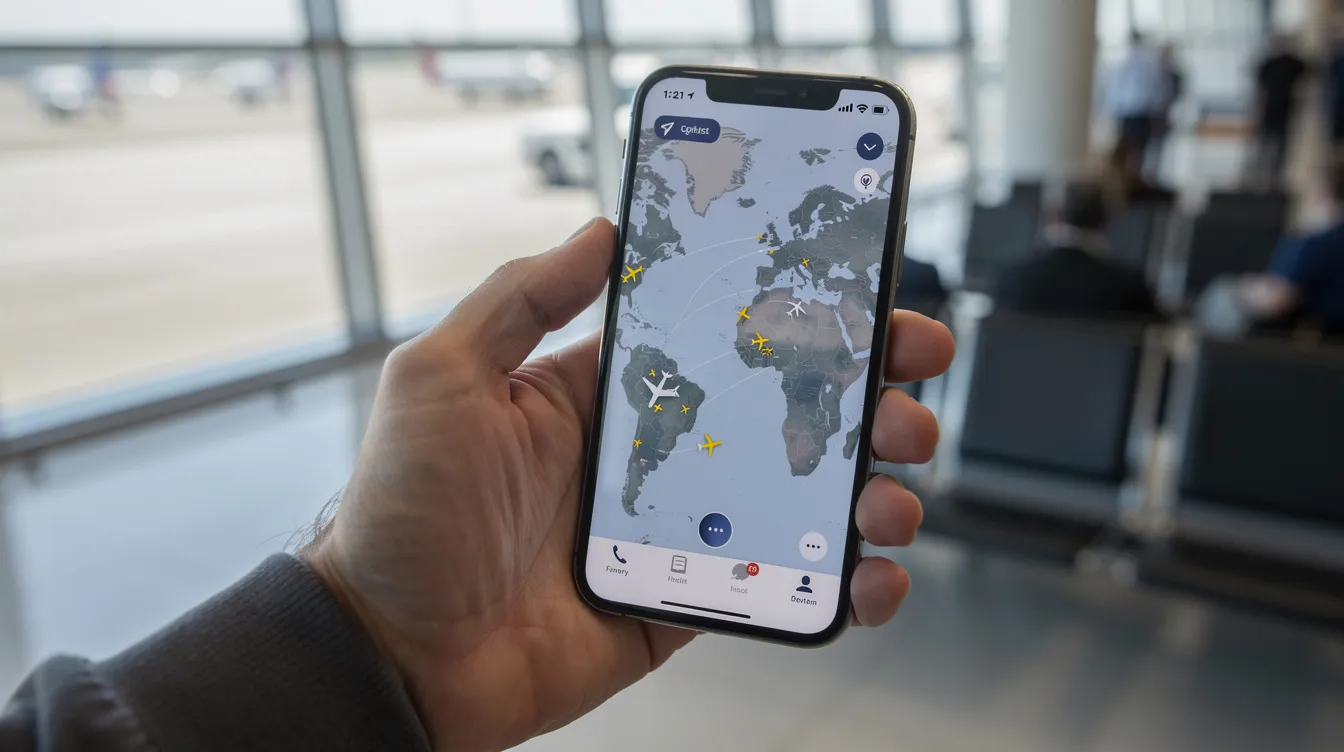
At SkyGuru, our focus is on explaining what passengers feel on board. But we know many users also peek at nearby military activity—and with tracking tools, you can even see which aircraft are flying over your own house or neighborhood—because information helps them feel calmer. This article will cover what you can and cannot see, which tools enthusiasts use, and how to keep this hobby mentally healthy.
Key Takeaways
-
Many military flights appear on public trackers through ads and data, but sensitive missions are deliberately hidden for security reasons.
-
Tools like ADS-B Exchange, Flightradar24, RadarBox, and the FlightAware app let you see tankers, transports, and sometimes fighters in real time.
-
Military aircraft near your route are tightly coordinated with civilian air traffic control—this is routine, not dangerous.
-
Understanding what you see on a map (refueling tankers, cargo planes) can actually reduce anxiety about “mystery aircraft.”
-
If watching live maps increases your worry, apps like SkyGuru help explain what’s happening on your own flight instead.
Introduction: Why People Track Military Flights
Every day, thousands of people search for ways to track military flights. Some are enthusiasts eager to identify a passing fighter jet. Others are nervous flyers who spotted an unusual aircraft on a live map and need reassurance.
Since around 2015–2016, public access to ads b signals has made it easy to watch transports, tankers, and trainers worldwide. The sky may look chaotic on a map, but it’s intensely organized. Military traffic is coordinated with civil air traffic control, especially over busy regions like Europe and North America.
At SkyGuru, our focus is on explaining what passengers feel on board. But we know many users also peek at nearby military activity because information helps them feel calmer. This article will cover what you can and cannot see, which tools enthusiasts use, and how to keep this hobby mentally healthy.
How Military Flights Show Up on Public Trackers
ADS-B (Automatic Dependent Surveillance–Broadcast) is a transponder system where aircraft broadcast their GPS position, altitude, ground speed, and direction every second. The ADS-B signal provides precise GPS coordinates, while Mode-S provides aircraft identity and altitude.
This system allows pilots and ground controllers to quickly assess local airspace, enhancing situational awareness and safety in aviation operations. Civil regulators like the FAA and EASA required ADS-B in most controlled airspace by the late 2010s. As of 2021, ADS-B transponders are mandated in the U.S., Europe, Australia, and India, with ongoing implementations in China and Canada. This improved safety—and inadvertently made many military aircraft visible to anyone with internet access.
Tracking military flights is best accomplished using crowd-sourced ADS-B receiver networks, which filter less data than commercial trackers. Volunteer receivers around the world feed this data to public sites, turning raw signals into live maps. These sites display aircraft registration numbers and the country of registration, helping users identify the origin of the aircraft. Flight times are often shown in UTC for accuracy.
Visibility of military aircraft tracking is largely limited to tankers, transports, and trainers, as fighter jets and bombers are rarely visible unless they enter civilian airspace. Many commercial sites block military data for security reasons, while some tools specialize in unfiltered tracking.
Programs like LADD allow private and government aircraft owners to request that their data be hidden from commercial sites. Military aircraft often have the option to turn off their ADS-B transponders to avoid detection, which means they can disappear from tracking systems when they choose to do so.
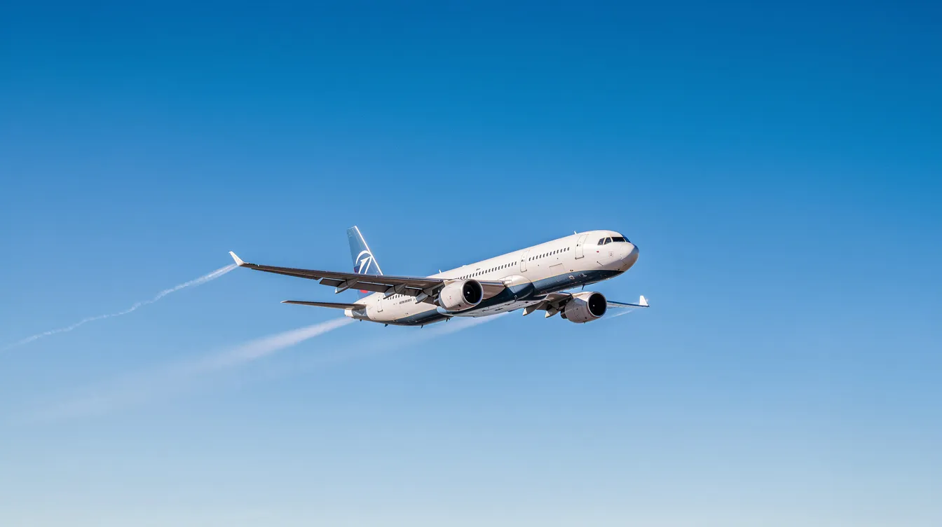
Transport planes like the C-17 Globemaster III, KC-135 tankers, and C-130 Hercules often broadcast during routine flights. Fighters (F-16, F-35, Eurofighter Typhoon) sometimes appear with blocked tags or vanish entirely when crews switch to restricted modes.
Popular Tools Used to Track Military Flights
Several platforms let you find military aircraft in real time:
|
Tool |
Key Feature |
|---|---|
|
ADS-B Exchange |
Community-driven, unfiltered data from 20,000+ volunteer feeders |
|
FlightAware app |
Combines ads b, MLAT, and FAA feeds; some military callsigns anonymized |
|
Flightradar24 |
User-friendly interface; applies “shadow mode” to sensitive traffic |
|
RadarBox |
Offers detailed flight data with military filters |
Most platforms allow users to filter for 'military' or look for specific call signs associated with military operations. Enthusiasts often cross-reference multiple sources, including government NOTAM databases, to understand exercises or unusual activity. For day-to-day peace of mind, however, focusing on your own flight via the SkyGuru app for nervous flyers is usually more helpful than monitoring every military movement.
Why Some Military Aircraft “Vanish” from the Map
A disappearing aircraft on your screen almost always reflects deliberate security choices—not an emergency.
For example, a C-17 leaving Ramstein Air Base might broadcast across Europe, then stop transmitting as it crosses the Mediterranean. Crews can switch transponder modes, reduce broadcast detail, or turn off ads b entirely near training areas or conflict zones. Combat aircraft and ISR platforms may be visible in transit but go silent during active missions.
If an aircraft vanishes, it simply means the crew changed how they share data. This is expected and standard procedure.
What You Can Learn from Watching Military Flights
When approached calmly, tracking military flights becomes an educational hobby rather than a source of fear. If flight anxiety is a bigger issue for you, resources on how an app can help reduce fear of flying may be more useful than staring at radar screens.
Patterns on live maps reveal a lot about airspace structure, and similar data-powering capabilities are available to developers through the SkyGuru flight and weather data API:
-
Circular holding patterns of tankers over the North Sea
-
Straight east–west refueling tracks during NATO exercises
-
Transport corridors after humanitarian events
You can often identify aircraft types by speed, altitude, and track shape. During major exercises or wildfire seasons, spikes in military traffic highlight logistics and research operations—not combat. Heavy presence near busy corridors does not mean danger; it reflects training carefully coordinated with civil controllers. Analysts and app builders sometimes use SkyGuru’s turbulence and route analysis API for a deeper technical view of flight conditions.
How Military Flights Interact with Civilian Airliners
Military and civilian flights share the sky under strict rules. Over controlled airspace in the US, UK, Germany, and much of Asia, military jets communicate with the same air traffic control centers handling your commercial flight.
Dedicated restricted areas are published on aeronautical charts so airliners avoid active training zones. When military aircraft transit regular airways, they fly assigned flight levels just like airliners.
The safety record is strong. Separation standards, TCAS collision-avoidance systems, and rigid procedures protect both sides. The FAA reports zero mid-air collisions in shared controlled airspace since the TCAS mandate in 1993.
Tracking Military Flights Without Fueling Anxiety
Some nervous flyers end up doom-scrolling live maps, interpreting every military icon as a threat. This rarely helps, especially when an app designed to overcome fear of flying could shift your focus back to your own experience instead of distant aircraft.
Consider these boundaries:
-
Check trackers a limited number of times per day
-
Avoid watching conflict zones right before your flight
-
Skip social media threads that dramatize routine movements
Focus on your own journey—seat selection, breathing routines, and understanding turbulence. Tools like SkyGuru redirect attention from global military activity to concrete explanations of what you hear and feel on board, and its FAQ on in‑flight weather and route information explains how it works even in airplane mode.
Knowledge reduces uncertainty. But when it feeds “what if?” spirals, it becomes unhelpful. Notice that line and step back when you cross it. You can also explore ideas on how an app can help you overcome your fear of flying to build healthier habits around aviation information.
How SkyGuru Complements, Not Replaces, Flight-Tracking Apps

SkyGuru isn’t another radar map. It’s an in-cabin companion that explains sensations from the passenger’s perspective, and the SkyGuru app FAQ goes into detail about its real-time commentary, weather forecasts, and offline operation.
Using aviation weather forecasts, turbulence models, and your phone’s sensors, SkyGuru predicts bumpy stretches and explains why they’re safe. Its effectiveness in helping passengers cope with the fear of flying has been highlighted in numerous media reviews of the SkyGuru app. Instead of showing every aircraft in the region, the app focuses on yours—providing stage-of-flight detection, likely noise changes, and reassuring commentary.
If watching military aircraft makes you uneasy, download SkyGuru before your next trip. Enter your flight number for real-time explanations and coping tips rather than abstract radar data; many media features on SkyGuru’s fear‑of‑flying support praise how reassuring this can be. Understanding what your own aircraft is doing is usually far more comforting than monitoring everything else in the sky.
FAQ: Common Questions About Tracking Military Flights
Can I see every military flight in real time?
No. Sensitive operations are hidden by turning off ads b, masking identities, or using restricted airspace. Public systems show routine traffic—not every mission.
Is it legal to watch military aircraft on apps like ADS-B Exchange?
In most countries, receiving unencrypted radio and ad signals is free and legal. However, users should respect local laws and avoid misusing data in ways that create security problems. You don’t need to register or create an account to view most sites.
Does seeing many military aircraft near my route mean my flight is in danger?
Multiple military icons usually indicate training, transit, or routine patrols. Civil and military flights are separated by strict ATC procedures—this is normal, not a problem.
Why does a military plane sometimes fly close to my airliner on the map?
Map scale can be misleading. Two icons that look close are often many miles and thousands of feet apart, well within safety margins set by international aviation rules. Click on individual aircraft to see their actual altitude and contact details.
What if tracking military flights makes my anxiety worse?
Consider reducing or pausing live trackers before flying. Focus instead on tools explaining your own experience—like SkyGuru’s real-time commentary, breathing exercises, and turbulence forecasts. Contributing to your calm matters more than watching every aircraft in the sky.
Conclusion: Finding Peace in Flight Through Understanding
Flying becomes far less intimidating when you understand what’s happening both around you and on your own flight. Military aircraft overhead are part of a highly coordinated system, and what you see on tracking apps is just a glimpse of routine operations, not cause for alarm. If you find yourself overwhelmed by maps and unknown aircraft, shifting your focus inward can help.
Apps like SkyGuru offer real-time explanations of flight sensations, turbulence, and noises, helping nervous flyers transform uncertainty into confidence. By learning what to expect during each stage of your journey, you gain a sense of control that eases anxiety.
Remember, knowledge reduces fear. Whether you’re curious about military flights or simply want to feel calmer in the air, understanding is your best ally. Embrace tools that guide you gently through the flying experience, and let your next trip be one of calm and clarity.
FLEET SELECTION
JET CARDS
COST ANALYSIS


How to Auditing Your Operator's Maintenance Logs
Oct 05, 2025

How to Auditing Your Operator's Maintenance Logs
Oct 05, 2025

How to Auditing Your Operator's Maintenance Logs
Oct 05, 2025
Sky Guru Weekly
The smartest private aviation intelligence in your inbox.

